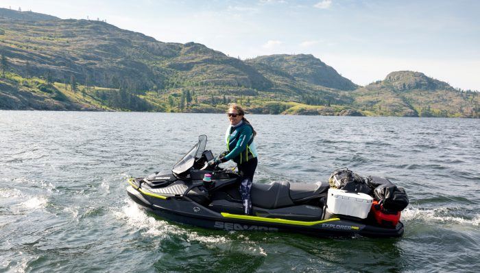
Be on the lookout for summer storms
With the calendar about to turn to June, summer is literally just around the corner, and with it hopefully a major increase in your riding time. But while summer brings warm weather and long hours of sunshine, it also brings a greater unpredictability in that weather.
And out on the water is not the place to be when things take a turn for the worse.
The best way to prepare? The most obvious step is to check your local marine forecast before ever leaving home. Weather forecasts aren’t foolproof, but they can give you a pretty good indication of what to expect. Another good source is the NOAA weather reports available on VHF radio. In fact, having a weather alert-capable VHF handheld with you on the water is a great way to be forewarned about coming storms.
Ultimately, however, avoiding a storm come may come down to you, and your knowledge about the clouds and weather patterns. Here are several tips for deciphering what’s going on up there in the sky.
Look for the Sign
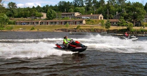
 If you start to see anvil-shaped clouds, it might be time to wrap up your ride.
Learn to recognize the thick, puffy, cotton-ball-looking cumulous clouds in the summer sky. Should they start to darken and grow in height, that’s a sign a storm is brewing. Watch for cumulous clouds growing vertically, and a telltale anvil-like shape forming at the top. It’s a clear indicator of a storm, with potentially damaging winds, rain, and lighting.
Typically that anvil shape will “point” in the direction the storm is moving. The severity of the storm can also often be determined by examining its leading edge. The lower, darker, and sharper that edge is, the more severe the storm will likely be.
Location and Time
 While the weather may looks nice now, it doesn’t take long for things to change on the water.
Thunderstorms often build over the water in the summer months, primarily because humidity and temperature on land are high as hot air radiates upward from the heated ground and absorbs moisture from the nearby water. Often this action rises to form a thunderhead.
While storms can come from any direction, they often approach from the south or west. Watch for the obvious – fast-moving, black clouds.
How much time do you have before the storm hits? That’s often the most important question. It’s always better to err on the side of safety, but one time-honored mariner’s technique is to watch for a flash of lightning, and then count the seconds until you hear the accompanying boom of thunder. Every five seconds equals roughly one mile in distance.
Don’t take chances. Remember, lightning can strike well in advance of a storm, as well as after it has apparently passed.
If You Get Caught
Remember, it’s always preferable to get off the water in a storm. Sometimes, however, that may not be an option. If you can’t outrun the storm, or make your way to shelter, maintain a steady, slow pace and point your craft’s bow into the wind. Approaching waves should be taken at a 90-degree angle, both to keep the craft’s pump in the water and to avoid your craft from being rolled over. Stay as low as possible on the seat.
While that rain may sting, don’t completely close your eyes. Boaters have been known to run in a storm, so keep a watch for other vessels.
After the storm has passed, count your lucky stars…and remind yourself not to push your luck the next time.
Related Reading
PWC 101: Safety
How To Ride a PWC with a Child
Inside Personal Watercraft Off-Throttle Steering Solutions
How To Tie Secure Knots for Your PWC


 Your Privacy Choices